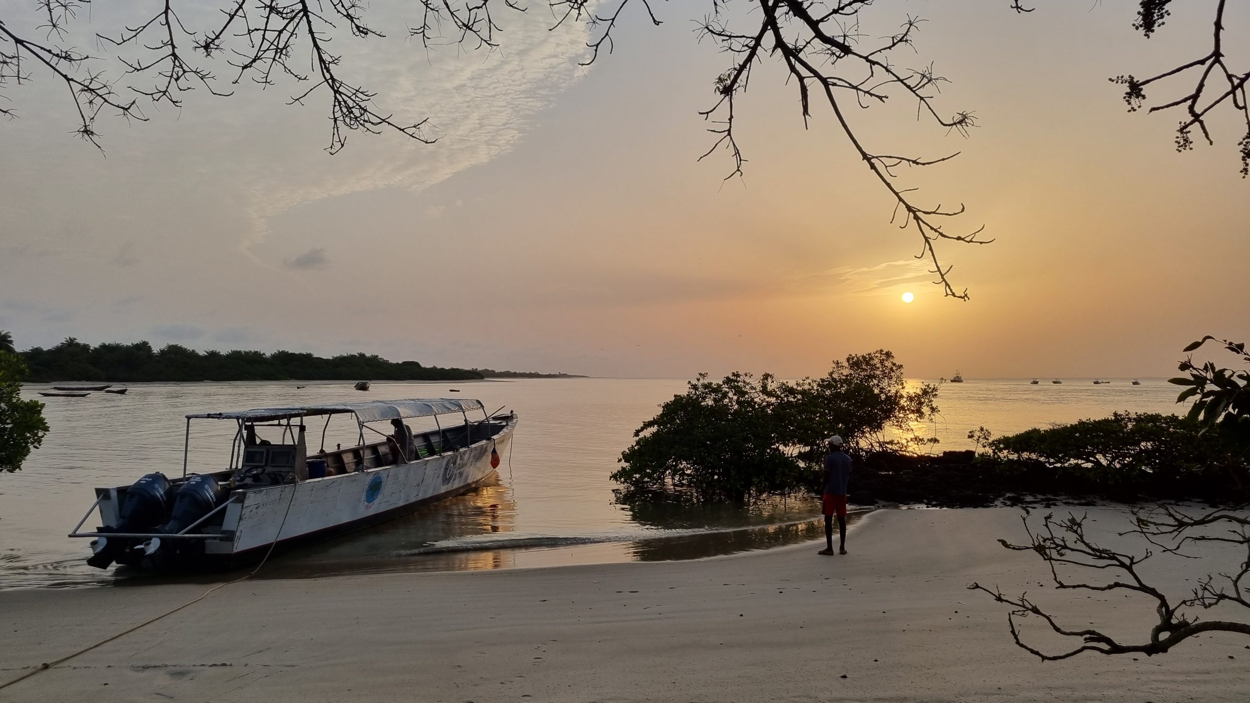
An investigation in the Bijagós Archipelago, classified as a UNESCO World Natural Heritage Site in July 2025, has revealed a rich and previously unknown local biodiversity. The study also shows the alarming presence of non-native species in one of the most intact ecosystems on the Atlantic coast of West Africa.
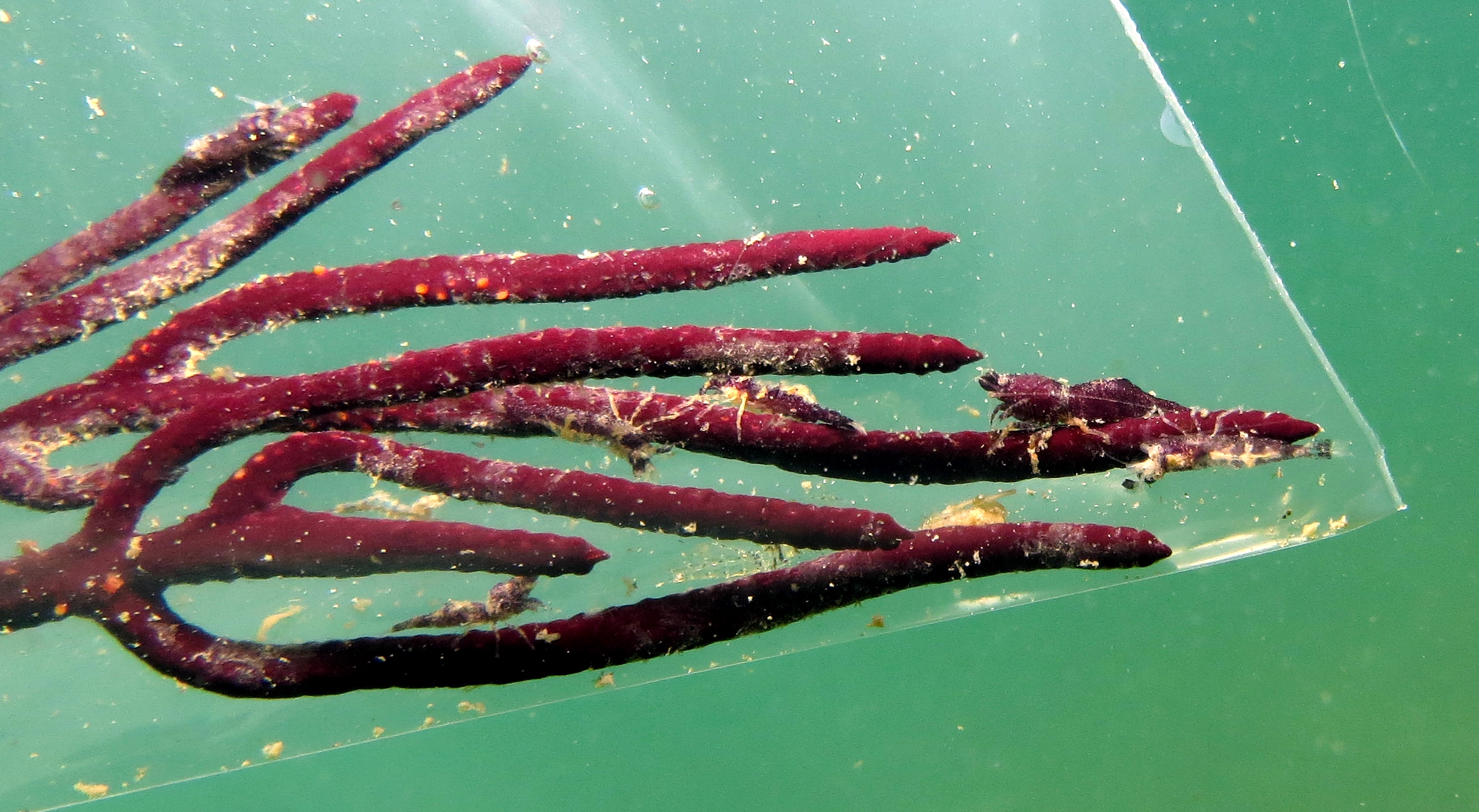
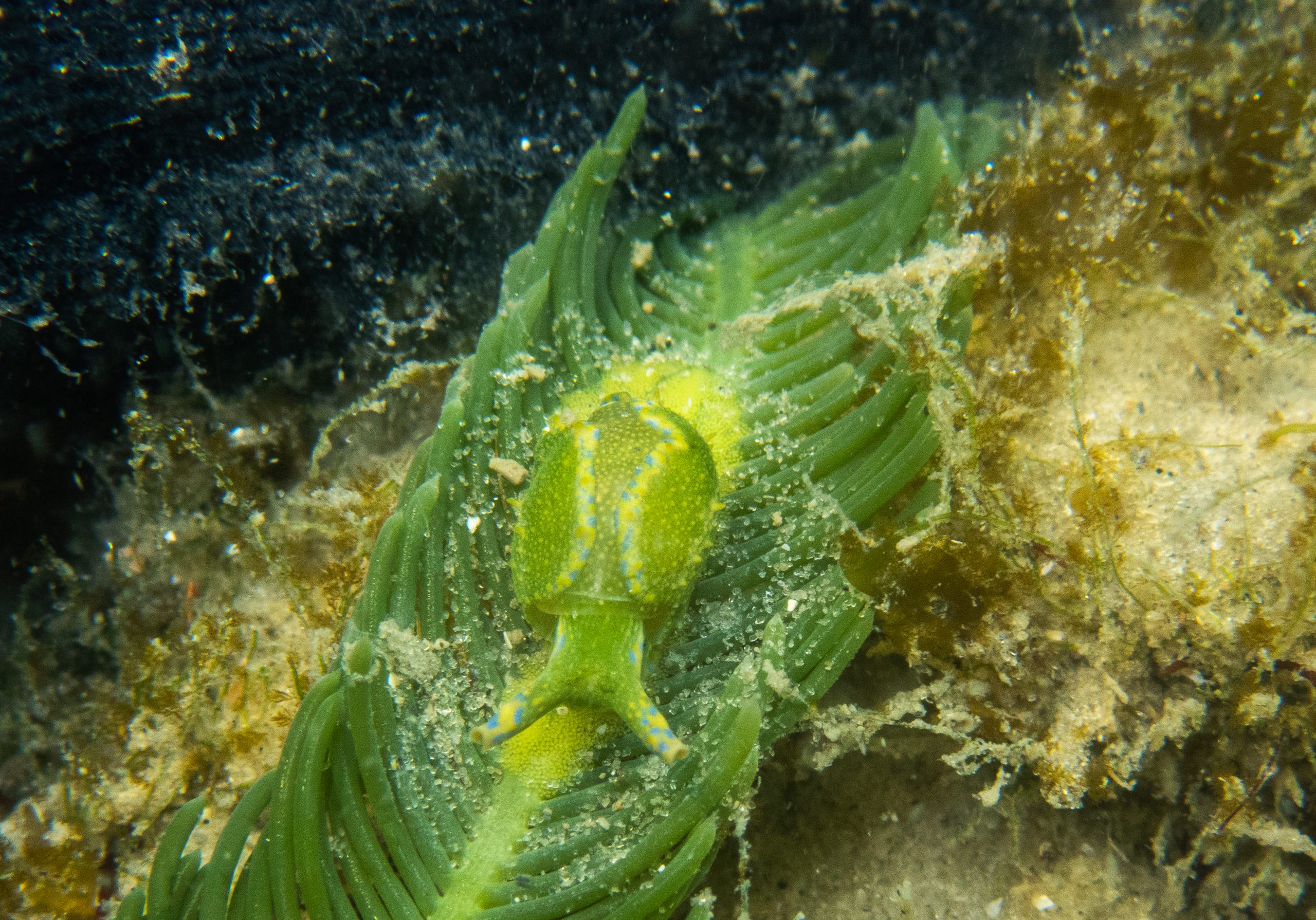
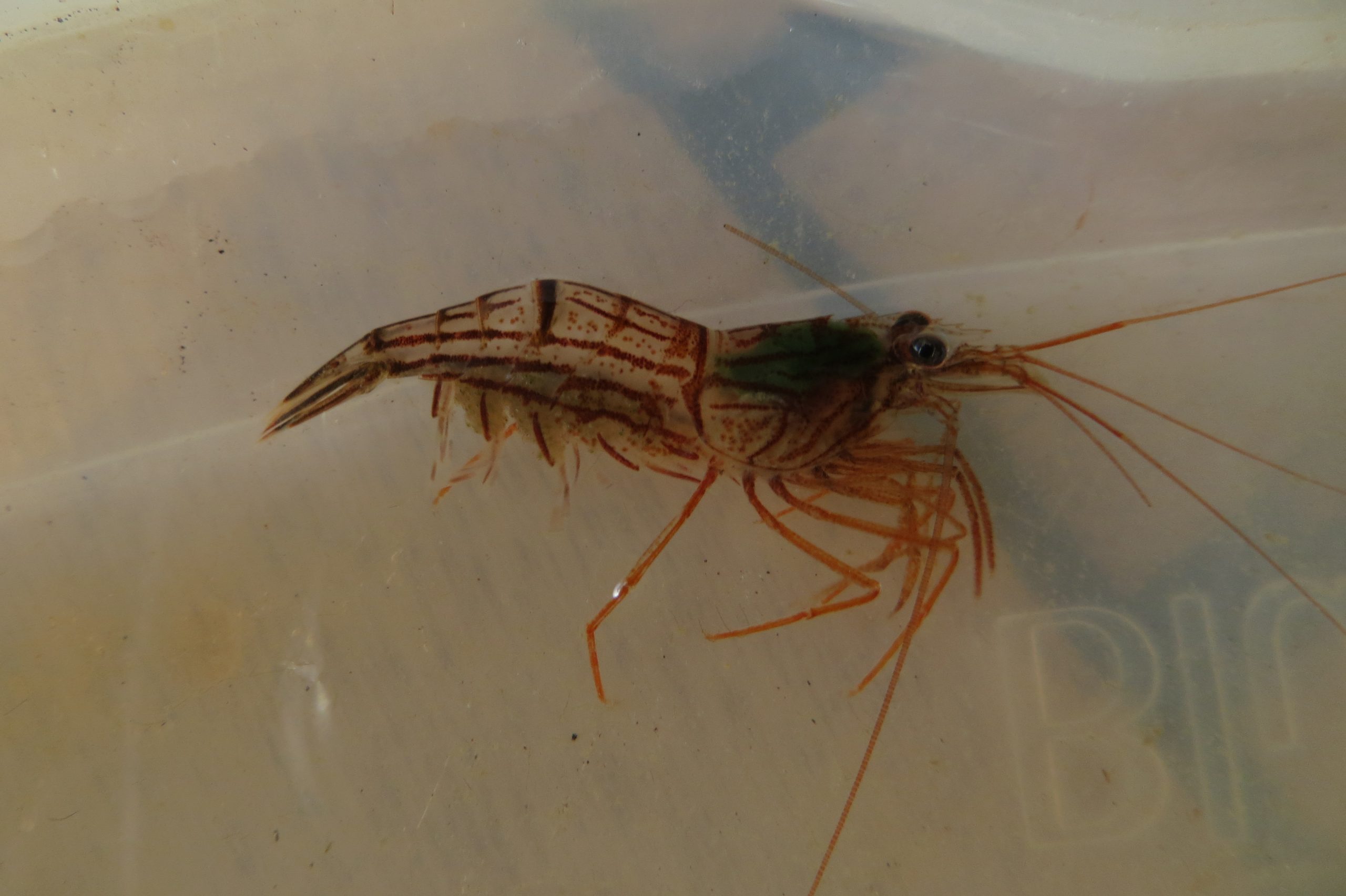
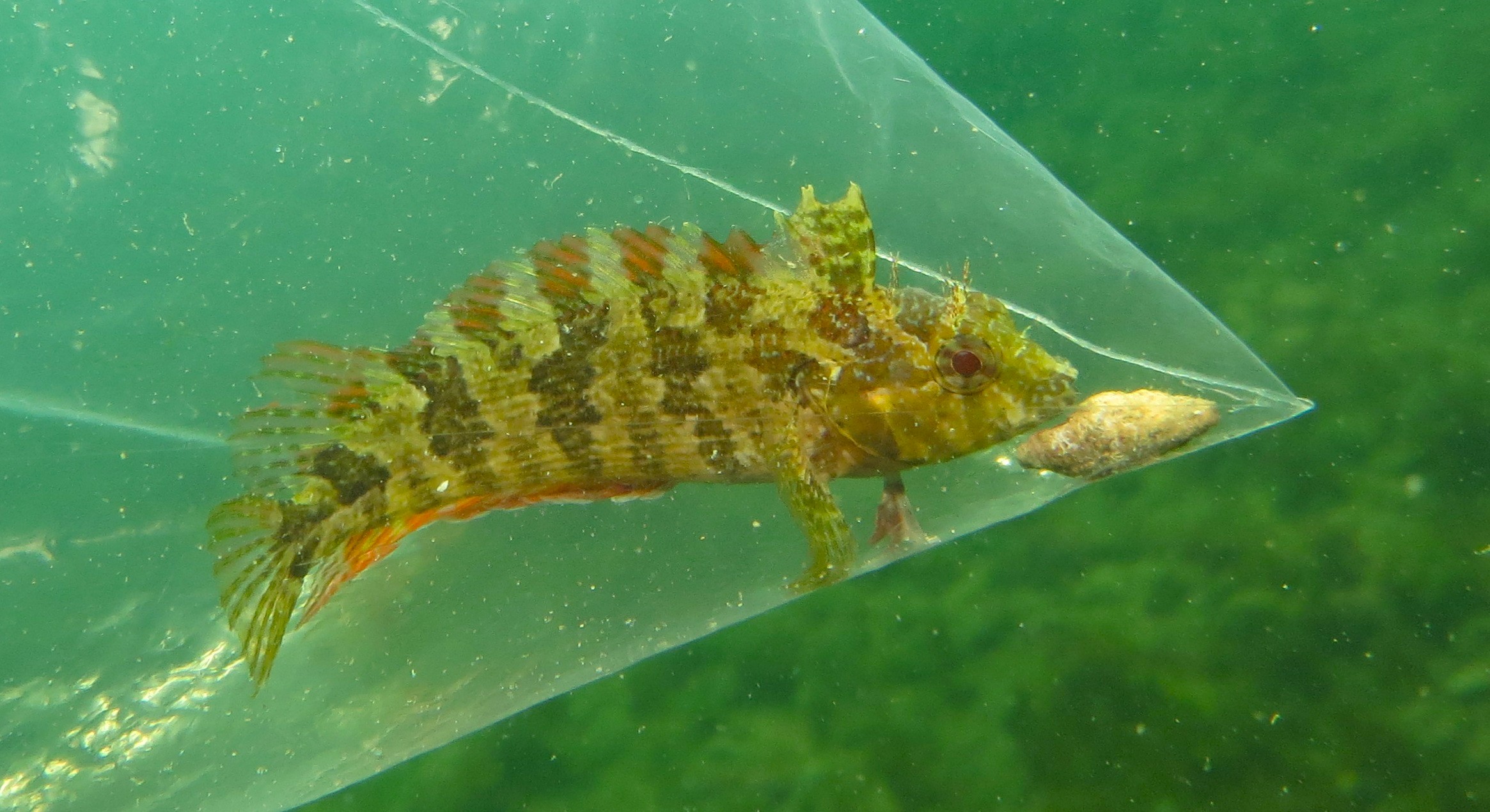
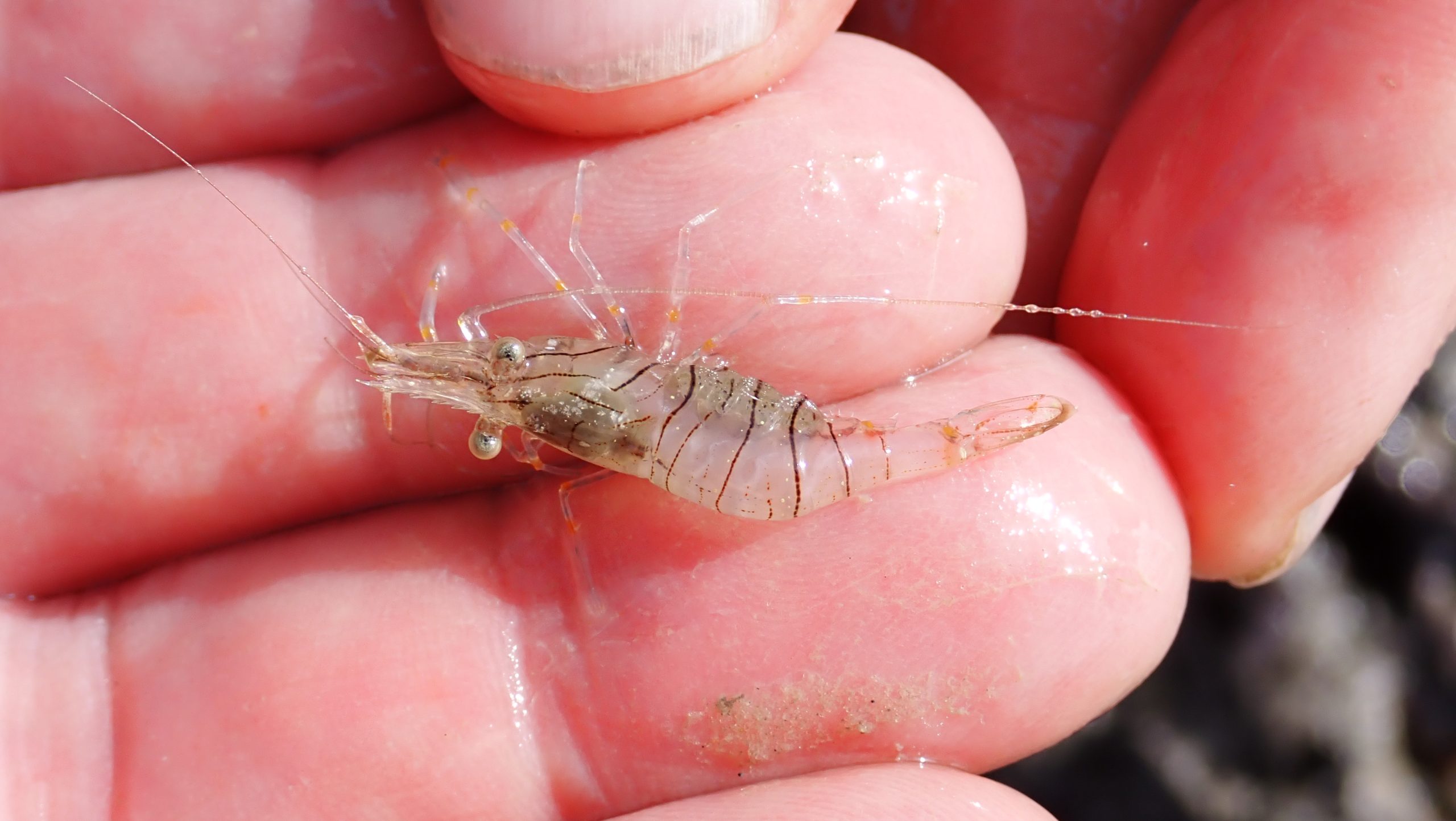
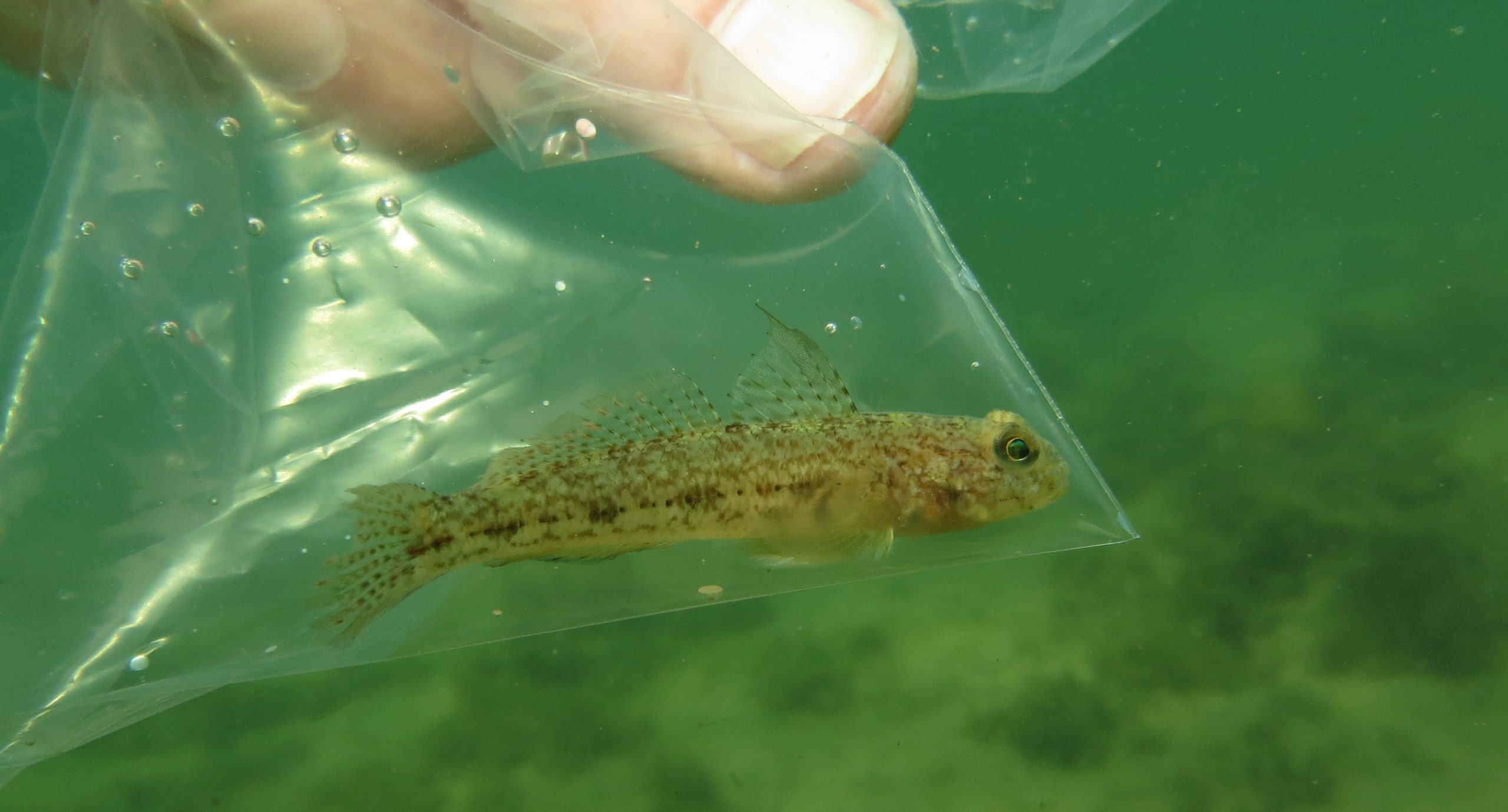
The work, led by a team from the Algarve Marine Science Centre (CCMAR) in Portugal, in collaboration with local institutions in Guinea-Bissau, the Institute of Biodiversity and Protected Areas (IBAP) and the National Institute for Fisheries and Oceanographic Research (INIPO), documented 28 new records of marine invertebrates in the Bijagós archipelago, including six species never before observed in the Eastern Atlantic, and found two new species of shrimp endemic to the region: Periclimenes africanus and a second, not yet described, of the genus Palaemon.
The scientific expedition involved fishing communities and also served as a driving force in the training of local technicians.
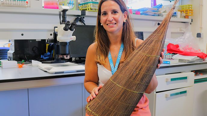
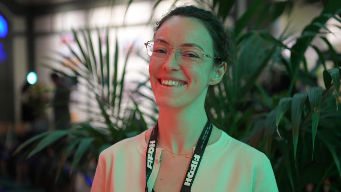
Ester Serrão, coordinator of the 2023 expedition and researcher at the University of Algarve and CCMAR, says that the mission’s success was only possible thanks to the excellent collaboration between the teams from Portugal and Guinea-Bissau.
The researcher highlights the value of the Bijagós archipelago’s biodiversity, a fact that led to the archipelago, made up of 88 islands and islets, being declared a UNESCO World Natural Heritage Site.
Luis Guita interviews Ester Serrão
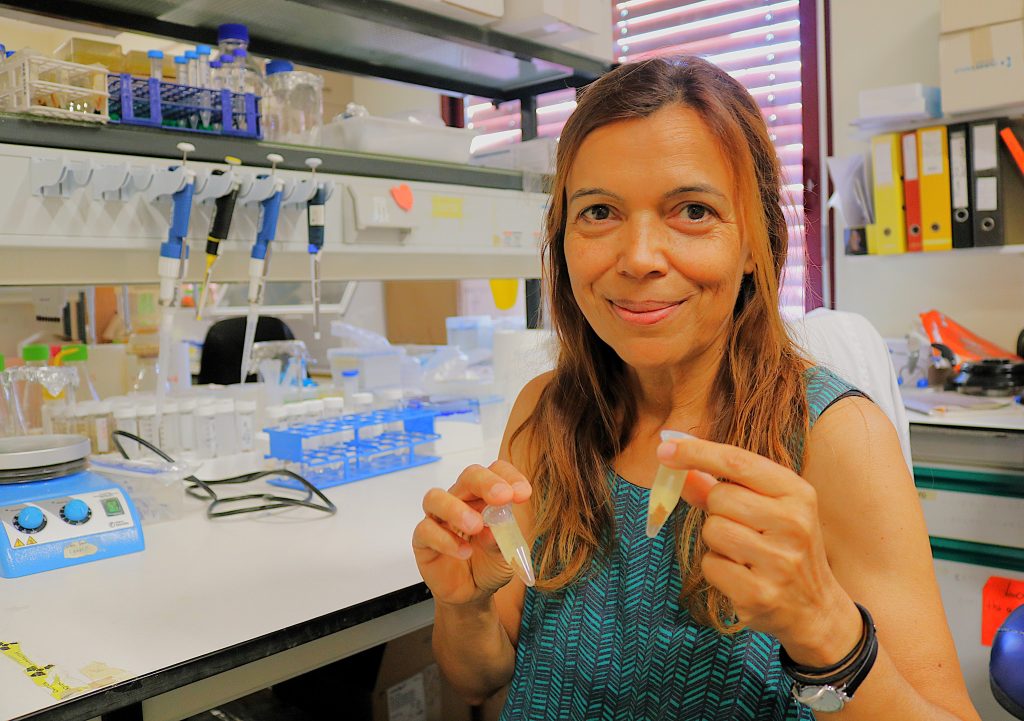
Ester Serrão: In terms of nature, the biodiversity of the Bijagós archipelago is extraordinary. It’s an area where ecosystems are managed by official entities in close collaboration with, and dependent on, the people who live in the Bijagós, who have their own regulations and traditions. Therefore, all use of nature has long been done in a very integrated way among the people who live there. And in some areas there aren’t even people, because there are so many islands. Therefore, they manage certain islands as reserves that they themselves create due to their traditions and because they consider certain areas, for example, to be sacred, etc. Beyond the natural richness that this area possesses, being an archipelago with so many islands and so much wealth that comes from its privileged location and situation—some islands closer to large rivers and mangrove forests, and others further away, with clearer waters, all these are shallow areas, etc.—all this geological, oceanographic, and climatic situation creates very rich ecosystems. Furthermore, human management has not been a significant source of destruction as it has been much more so in other neighboring areas, let’s say. Therefore, it received this very well-deserved recognition of being a Natural World Heritage Site.
You coordinated a project in the Bijagós. What were the objectives of this project when you decided to pursue this research?
Ester Serrão: The program covers the entire Atlantic coast of Africa. The Bijagós is one of the particular places where we focused more attention, and the objective was to understand the distribution of species, which species exist, and the composition of the lesser-known marine species.
There are many other studies, programs, and projects from other entities and other countries, mainly focusing on more charismatic species, such as birds, turtles, marine mammals, and even fish. We focused more on aspects of biodiversity that complement those already known, little-known, generically marine forests, which can be animal forests, such as corals, sponges, and other groups of invertebrates with names difficult for people to recognize, and also large macroalgae and marine plants. Therefore, this type of biodiversity lies beneath the surface of the sea and is something people are usually unaware of, because they can only see it by going underwater, and even then, only at very low tide. But we also aimed to make known all the information that already exists but is not readily available to the public. There have been many projects, many studies, etc., that have been published, for example, in scientific articles, theses, or project reports, and all this information, if local entities wanted to use it for management or, for example, for a World Heritage nomination application, would be difficult to access. What we did was, I think, a very useful contribution to management, to science, and to citizens. It was to make all the information available. It involved collecting information that exists on portals, in publications, in reports, often unpublished, in files, on shelves, and putting all this information together, placing it all in a single database, and making it available on a free, open-access portal, where anyone can go, collect the data, see the species distribution maps, etc.
For example, in the case of the Bijagós archipelago, this was very useful for the dossier. Because, when the conservation and nature management entities of Guinea-Bissau were asked what species exist within the area to be protected, the area to be designated, compared to outside, we had already collected all this information in this project. We had the geographical coordinates where each species had already been sighted, and all the information and all the studies had been done previously. So, we are developing this program not only for the Bijagós archipelago, we are trying to develop it for the entire Atlantic coast of Africa.
This work was carried out not only with people who accompanied her from Portugal, from the University of Algarve, but also involved researchers from Guinea-Bissau and the local community.
Ester Serrão: The local community is essential; this work could not have been done without the local community.
The entire program was planned from the outset with local entities. First, conversations and research were conducted to determine their needs, what areas they would like more training in, or what they would like more support in from a scientific point of view. Then we developed this program, both to collect missing information and to provide training, that is, to improve knowledge in certain methodologies that could be useful to those who are already professionals in these institutions but who would like to improve their training, for example, in geographic information systems, or in statistics, or in other techniques or other areas of knowledge.
Therefore, in collaboration with local entities, we defined what the knowledge gaps were and established the professional master’s program for professionals only, for people who had already been working for at least five years, for example, in fisheries institutes, nature conservation institutes, non-governmental organizations, etc. We had various types of students who came to work on this program, also collecting data and information and integrating it and taking it back to their countries.
So, campaigns were planned with local entities and students to contribute with their theses and the information that the local entities needed. Then, local campaigns were organized with them. We jointly planned where we should go to do the sampling, what the most important sites were, what we should study, and therefore, their local knowledge was indispensable.
We created complementary knowledge to what they already had. It ends up being a synergy, one of those cases where the whole is more than just one of the isolated parts.
In the case of the Bijagós archipelago, for example, most of the work was developed with the Institute of Biodiversity and Protected Areas, which does excellent work in the field. With the resources they have, they do excellent work; they are truly exemplary.
The results of this research were recently published. What are the most notable, most significant discoveries that your work has revealed?
Ester Serrão: Underwater biodiversity. The biodiversity that lies beneath the surface of the sea and is not easily visible to anyone has many species and many habitats that were not previously known.
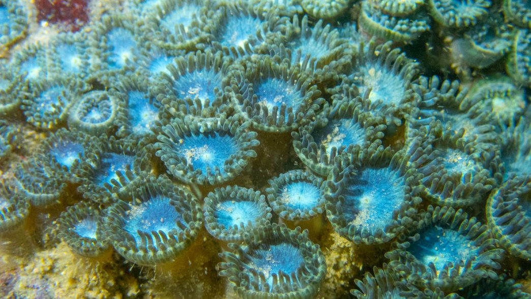
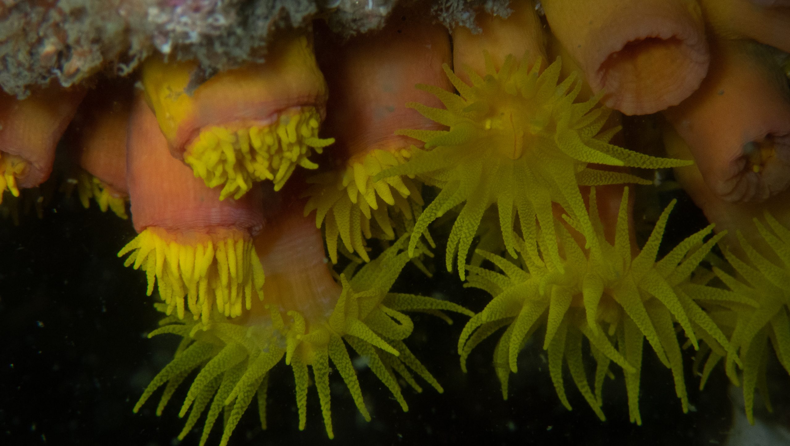
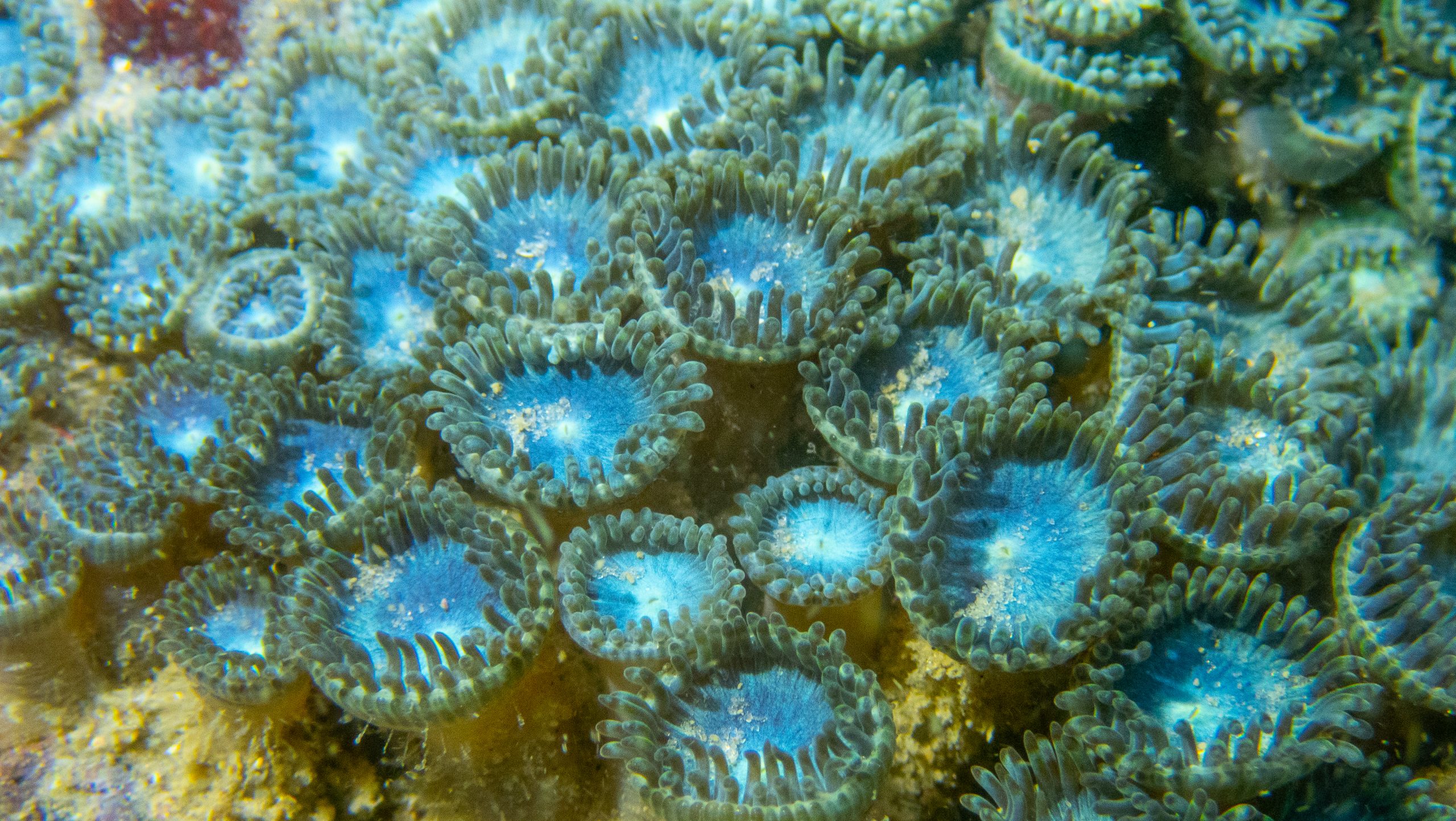
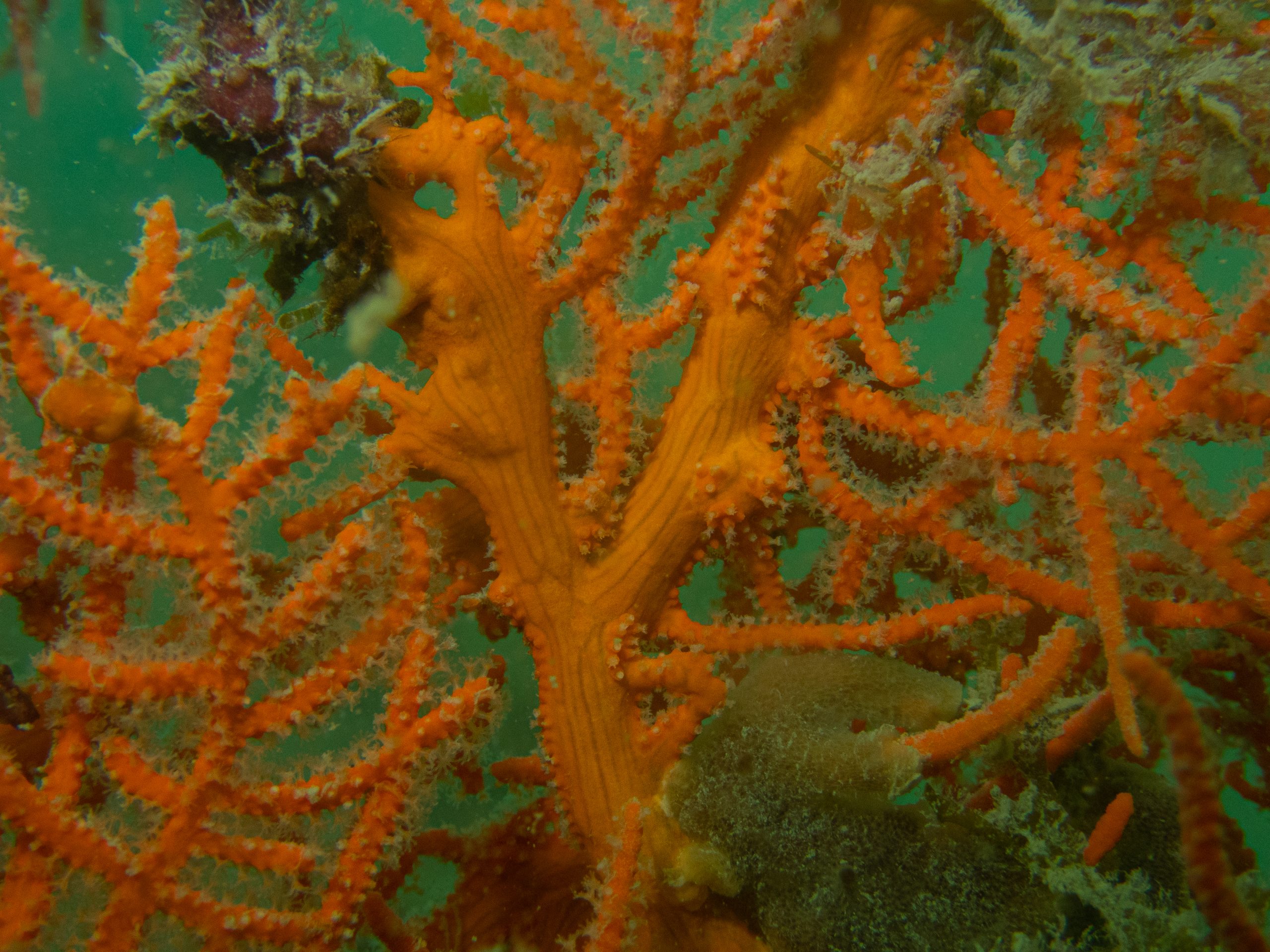
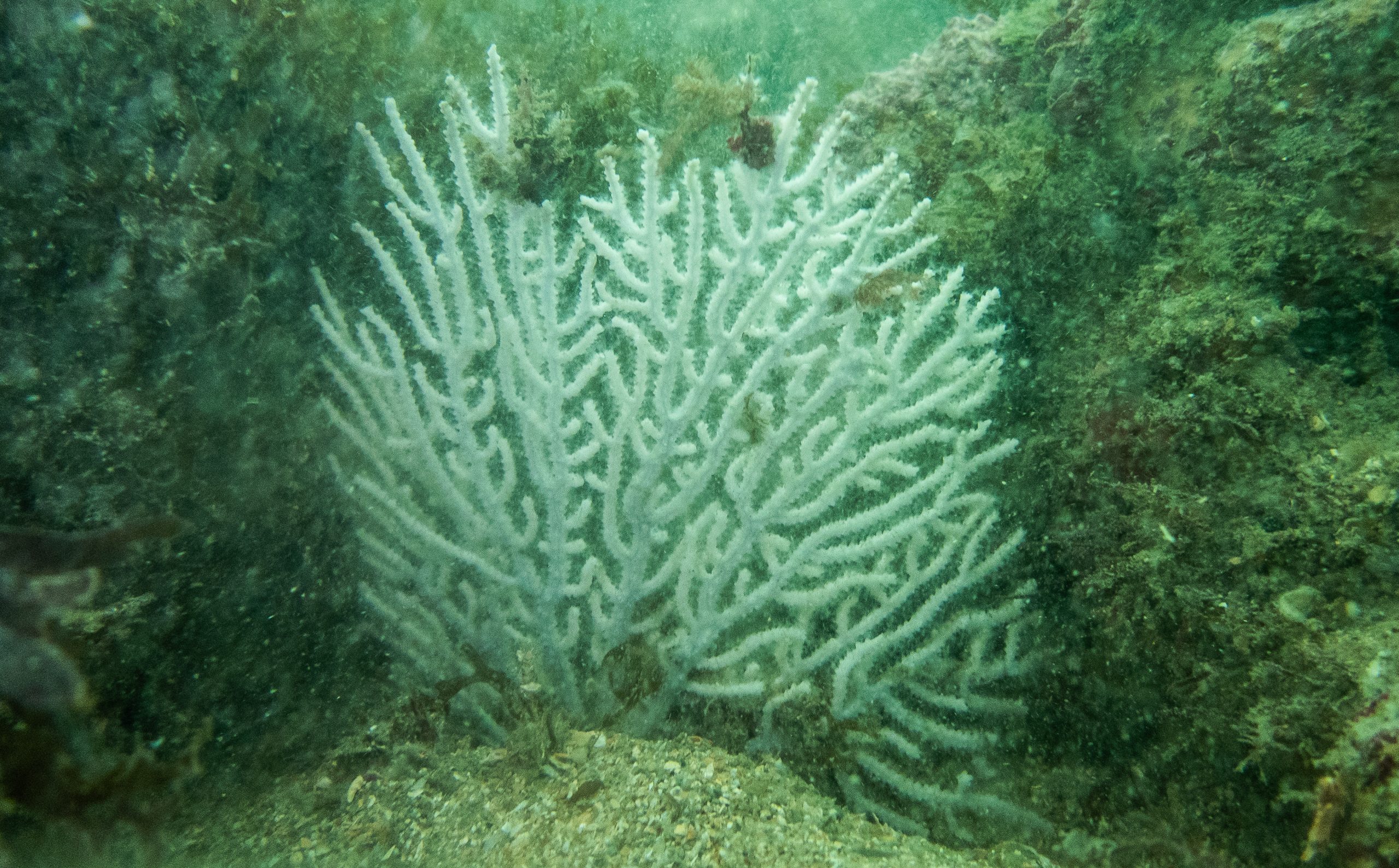
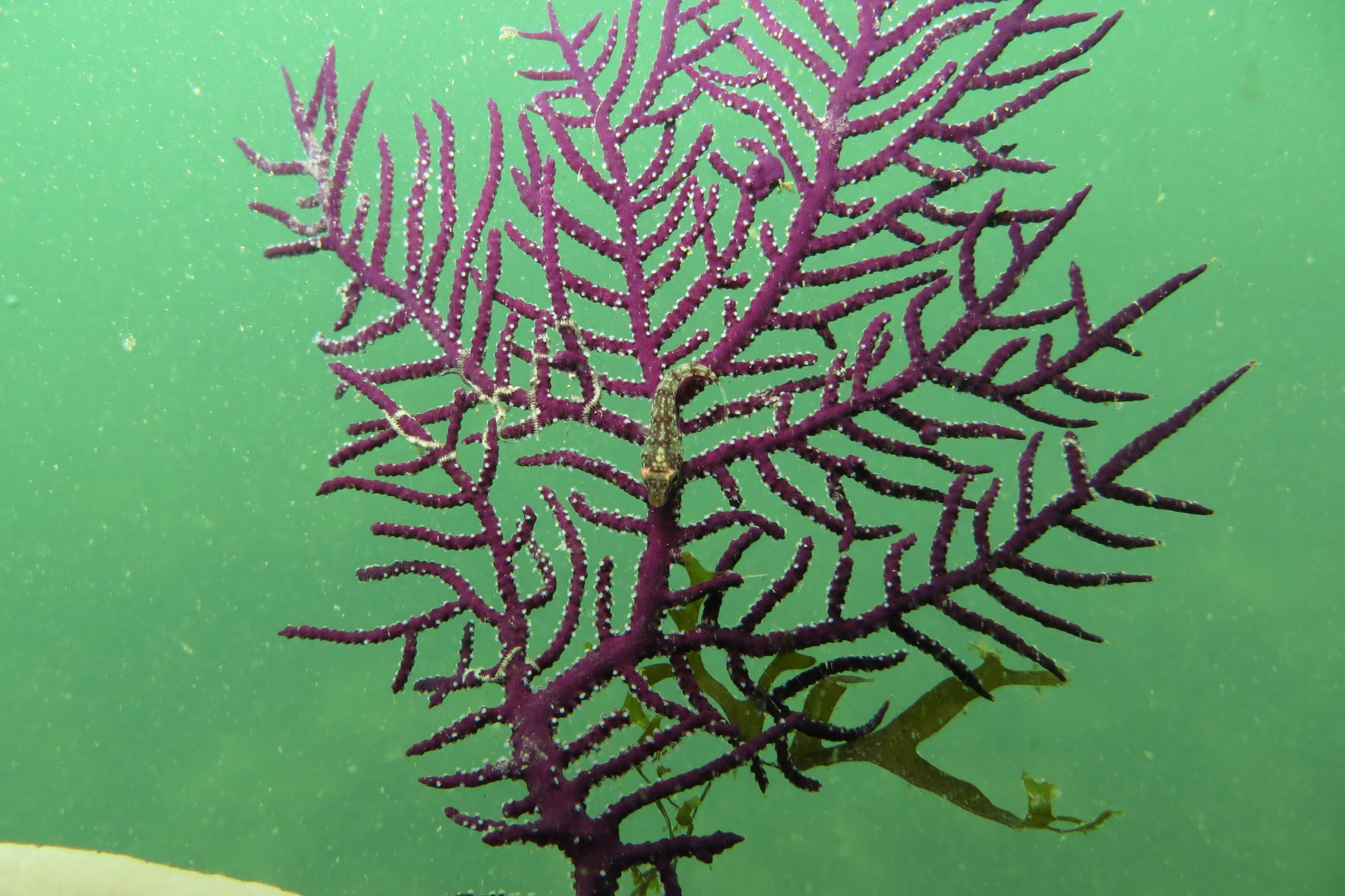
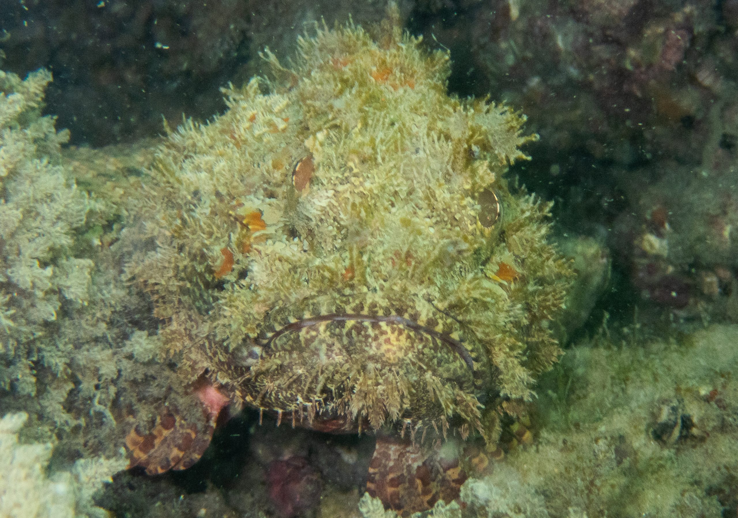
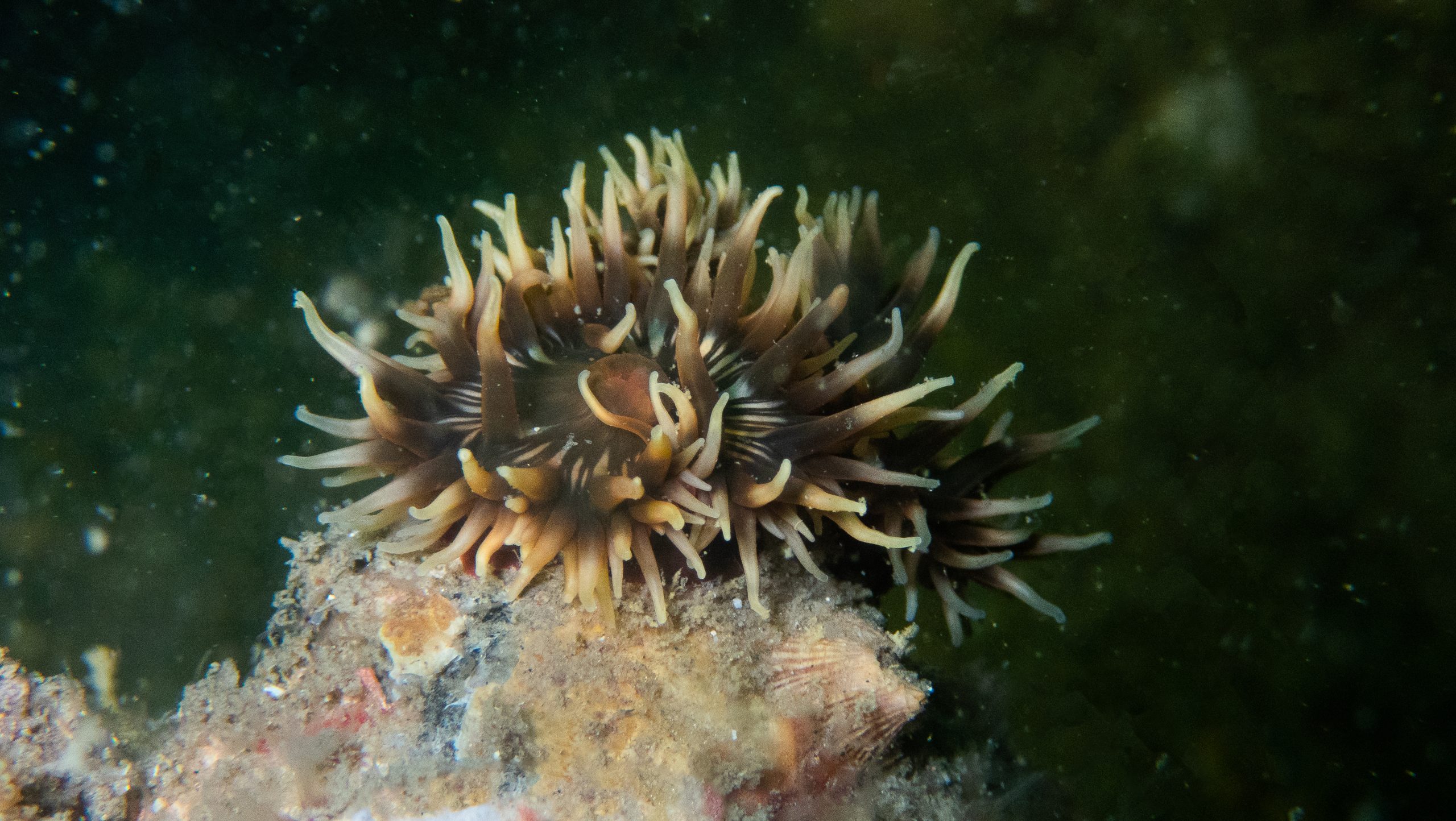
What was most surprising, and what the collaborators themselves, the other biologists from local entities, told us they were surprised by, is that because we went diving with self-contained underwater breathing apparatus, we could spend a lot of time underwater, look at the bottom, and find species that are only found by being there, carefully looking at the bottom and seeing, “ah! this one is here in the middle of the others,” etc. So, we discovered coral forests. Some corals look like trees; these are what we call gorgonians, soft corals, very branched, some pink, others yellow, others purple—many colors. These gorgonian forests are very beautiful, and were unknown or unrecorded in the Bijagós archipelago. For example, there are corals and sponges, many sponges, also very colorful, large, and branched. They also look like forests. Many macroalgae. Large forests of large algae, red, brown, green. Seagrass meadows. These are marine plants that aren’t very large; in the Bijagós, there’s only one tropical species, which is quite small, but it’s much more widespread. It exists on several islands and in many places, far more than previously known. Therefore, the discovery and mapping of the location of this type of ecosystem was a great novelty. I think it’s important to draw attention to the richness of the Bijagós archipelago, which, in addition to everything that was already known—an extraordinary richness—what was perhaps the biggest novelty was our focus on these other species that normally receive less attention.
We are talking about the revealing, more positive side that this project brought to light, but perhaps there may also be less positive aspects that they also encountered. Possible invasive species, possible effects of pollution, of climate change?
Ester Serrão: Nowadays, both climate change and invasive species are a global problem that unfortunately especially affects countries that contribute little to the problem. Often it is the less developed countries that have the most nature, those that have the most to lose from these global effects, which were not created by them, because they are created more by more industrialized countries, which have already destroyed more of their nature. But then, in the case of invasive species, we end up discovering a large number of these invasive species that are invertebrates, clinging to rocks and competing with other species that also need space on the rocks to cling to, which are native.
Just as if we think about the terrestrial environment, everyone understands the competition for space among certain species. For example, in plants, crabgrass, which is a species that invades many areas and does not allow other plants to settle, covers everything. In the sea, there is the same problem, there are rocks that are covered by invasive species, which are not from the area and which prevent the native natural species of the area from finding space to settle. While they reproduce, they have small larvae that have to cling to the rocks to give rise to the next coral, for example, or the next sponge, and if everything is covered by an invasive species they can no longer settle there. Many of these groups have names that are not well known to people, such as some bryozoans and ascidians. Other groups are close to the corals and have been discovered in unexpected abundance in this area, which is so natural. We did not expect to find so many invasive species.
Now, how does this happen? Most of these species come from distant areas; the native area is not very close, so they are exotic species. Some may have come from the other side of the Atlantic, or they come from the Indo-Pacific and end up entering from one side or the other of the Atlantic. Therefore, the most likely origin is maritime traffic, the circulation of large ships, both merchant and fishing vessels, which come not into the Bijagós Islands, as there are no large ships, it is a very low-lying area, but along the entire Atlantic coast of Africa, where the circulation of ships is enormous. So, they can bring species either attached to the hulls or in ballast water, which is water that fills the holds in a certain place and then releases it in a different place, carrying larvae and everything else in the water that will stick to the bottom. Therefore, these species can then be introduced, for example, to Senegal, which is right next door, and then, through small floating objects or attached to the hulls of smaller boats, canoes, etc., they end up spreading and even reaching the Bijagós Islands. In our sampling, many species were sampled, which were then sequenced with DNA to find, to verify the species name, through molecular methods, which are methods that allow, more effectively, to be sure that that species is not exactly the same as another very similar morphologically, since the DNA sequence is different. The easiest and quickest to identify were the exotic species, because that sequence already existed in the database—exactly the same sequence of that species already existed in the database, for example, from the Indo-Pacific. We say, this is the same Indo-Pacific species that is here, or the same species that exists in the Caribbean, and it wasn’t known that it was here on this side of the Atlantic, it wasn’t known that it existed in Africa. After all, some species are new records for the coast of Africa, and they are probably in all the other countries on the coast of Africa. But they haven’t been found yet, why? Because this sampling hasn’t been done yet, which is only found if we actually walk on the rocks, as in this case, we went diving, therefore paying attention to the rocks, picking up all the small species that were different from each other. It’s the same indicated sampling and then the sequencing to verify that, in fact, it is a species that is not endemic to that place. There are many other species that have not yet been identified and that were not directly present in the databases, and therefore, they may even be new species, not yet known for the area. But the number of invasive species is a problem, because some of them spread quite a lot, have a large coverage, when they cover the rocks, in a very continuous way and do not leave space for other species to establish themselves. And we wonder what this area would have been like, what the Bijagós would have been like before these invasive species arrived there. Because now we see that they are very abundant and that they occur everywhere. Some even cover very significant areas, where native species would have previously been. So, we think, we’ve arrived a little late, we would have liked to have had a baseline of what the state of the Bijagós would have been like before all these invasive species colonized these areas. They have certainly made some changes, but we will never know what, because it was in the past and was not recorded.
The result of this research was recently published. After this result was published, will the research continue?
Ester Serrão: Exactly. All this work was part of a master’s thesis by a student, a professional from the Fisheries Institute of Guinea-Bissau, Felipe Nhanque. So, it was part of the professional master’s program that we created in the MarÁfrica Program. With this data, a portal was created that makes available all the data that was collected, not only in our campaigns, but also all the data that already existed from all previous sources, since 1800 and so on. It is all now available to the public. Therefore, since he was trained in this area, he continues to seek more information and deliver it to the portal.
The portal is updated monthly with all the new information that exists; it is the Mar África portal. If you search for Mar África, you will find the portal. It has databases for the Bijagós Islands, for the Banco d’Arguin National Park in Mauritania, for the marine protected areas of Cape Verde, for the transition zone between Namibia and Angola, and the Cunene zone, which is also very rich.
The first zones we focused on are areas especially rich in biodiversity. We’ve made all the collected data available. And therefore, there will continue to be more campaigns. We ourselves will continue going there, conducting more campaigns in collaboration with the same entities and the same researchers to continue helping. They themselves were equipped with this diving equipment, for example, and we also provided training. And the molecular identification of species continues. They can continue on their own, but we also continue collaborating.
The program continues in terms of ongoing collaboration, and whenever there is an opportunity, we conduct more campaigns to complement the work, to keep it going. On the one hand, it continues automatically; the portal is updated every month with the new information that exists, and on the other hand, more campaigns, more fieldwork, and more collaboration from the point of view of direct meetings and direct conversations. We are always in contact because we created a network that wasn’t just for that moment to be finished. We created a network of contacts that will remain for the future because they often contact us, and we need to know this or that or need help with this, and we do our best because they are always available. But they themselves already have, on their own initiative, with the best-equipped laboratories, the knowledge to do things. The complementary information that we try to provide is already available there; they need us less and less. But we always want to collaborate because, in fact, it’s a fascinating collaboration that we also greatly appreciate.
There are different initiatives, different programs from different countries working on the west coast of Africa. How can MarÁfrica contribute, how can it be different from those other programs, those other projects?
Ester Serrão: Fundamentally important and a great contribution, which I think we have had with this program and continues to have because it is constantly updated, is the biodiversity data portal, because access to information is very important. The information may exist, but if people don’t have easy and accessible access, it ends up not being used, which happens with many studies. There are immense programs on the Atlantic coast of Africa, for example, from the European Union, France, Germany, the Netherlands, etc. For decades, studies, programs, and projects have collected information and produced reports, scientific publications, theses, etc. However, when local entities want to use this information for management purposes—to define areas where a certain activity can be carried out, for example, or where another should not be done because it would destroy something—all this information, despite its existence because studies have collected data, is not readily available. Therefore, realizing this, we understand the need to make information freely and compatibly available, because each study uses its own method for presenting data. Not only is this inaccessible, but it’s also not standardized or comparable. This applies not only to countries; each has its own way of storing data. Even within each country, some institutions have some data, others have other data, and often the data and information are held by the researchers who conducted the studies, who have it on their computers or in a publication, but it’s not in a database where it can be accessed. What you see is just a graph, or a result, with everything already integrated. The base data is very useful, very important, and we realized that there was a huge amount of data, a lot of information that had been collected, and that if it wasn’t lost, if it wasn’t allowed to disappear on computers, I don’t know where, or if it ended up in PDFs, or in other forms, it would be inaccessible. So, not only did we collect the information, but it was all transformed, edited, to be in a compatible format. All the data from all the sources were transformed into a common format, and now, being in a common format, it’s possible to go to the African Sea databases and see the distribution of each species, when and where each species has been observed, and thus understand, for example, in relation to climate change, what the current distributions of species are, what the records of these species were in the past, and then use this data to predict what the distributions of species will be in the future. Because one of the objectives is, for example, if we realize that a species is at its southern distribution limit, for example, in the Bijagós archipelago, and it doesn’t go any further south, and that it’s possible, for example, with the corvina, which is a species of enormous commercial interest that is caught in Portugal. They reach the southern limit, but there are fewer and fewer of them, perhaps due to climate change.
As environmental changes are taking place, we are seeing that there are fewer and fewer species. Therefore, it is perhaps important for entities to know that investing in croaker fishing is perhaps not the most important thing. This is just to give an example of a species that we know is very important in some places, but whose distribution may change in the future. So, knowing the current distribution of species allows us not only to plan how to manage them today in the ecosystems we have, but also to make predictions about what the distribution of ecosystems will be like in 50 years, and to plan coastal management today, already thinking about how things will be in 50 years, or in 100 years. Data and models already exist that allow us to make these predictions. That is why, for example, in the Master’s program in Marine Africa, we also had a subject that was about creating Species Distribution Prediction Models for the future, so that they can also integrate this into their own management activities.
Text and photo by Luis Guita
Published on RFI on 07/31/2025
MarAfrica Project: https://ccmar.ualg.pt/project/marafrica-network-monitoring-integrating-and-assessing-marine-biodiversity-data-along-west